How it works
From a rider’s frustration to evidence a planner can use.
TransitCrafter is an independent, anonymous map where neighbours point at what is wrong with transit, back each other, and give planners something better than a complaint: located, counted, labelled evidence.
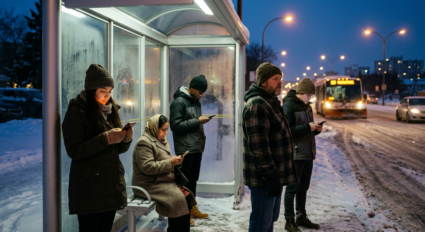
Four steps, no account
It takes about thirty seconds on a phone, and nothing is decided by one loud person.
- Four steps, no account 1
Someone spots it
Drop a pin for a problem, a missing stop or a shelter. Sketch a new route. Or suggest a change to a route that already exists.
- Four steps, no account 2
Neighbours back it
Anyone can support an idea with one tap and say how often they would ride. One person counts once, however many times they tap.
- Four steps, no account 3
Rules keep it honest
Duplicates are steered to the original, spam and personal details are stopped, and votes from brand-new devices or crowded networks count for less. Community reports bring in a person.
- Four steps, no account 4
Planners see the signal
Ideas are labelled Early, Growing or Strong. Planners explore demand on the heatmap and download the trusted ideas as GeoJSON or CSV.
The method, in the open
Everything below is read live from the database every time you open this page.
Live numbers
We are just getting started
Live numbers appear here once enough neighbours have taken part for them to mean something. Until then, this is exactly what we will publish and how each number is counted.
What we will publish
Ideas from real residents
Demo examples are not counted.
Different people who backed an idea
Counted once each, however many times they voted.
Of them confirmed an email
The email is never shown or shared.
Said how often they would ride
Planners trust this more than likes.
Of 16 neighbourhoods heard from
Where at least one idea was shared.
Reports from residents
Anyone can report an idea that looks wrong.
What happened to reports
- Under review now
- 0
- Taken down
- 0
- Automatic actions
- 0
- By a moderator
- 2
How support is counted
One person, one vote on an idea. Some votes carry more certainty than others, so a crowd of fake devices cannot outweigh real neighbours.
| Who voted | Counts as |
|---|---|
| Someone who confirmed an email code | 2.0 |
| A regular visitor | 1.0 |
| A brand new device | 0.4 |
| Many votes from one shared network | 0.3 each |
A verified email counts double because it is hard to fake: one address, one voice. We keep only a hash of it, never the address.
Verify your emailPhotos count too: an approved photo taken at the place adds a little to the score, but only once a few neighbours already back the idea, and never more than a few extra votes.
When does an idea become strong?
Early signal
Everything new starts here.
Growing support
25 different people, spread over at least 3 days.
Strong support
100 different people from at least 3 neighbourhoods over 14 days, with no open reports.
These starting values are a first guess. We will tune them in the open once there is real data, and say so here when we do.
What we promise
We show our numbers
Everything in the top section is counted live from the database. Nothing is rounded up.
Rules, not opinions
The same automatic rules apply to every idea. A person only steps in when a report or a flag asks for it.
Anonymous by default
We never ask for your name. Verifying an email is optional and the address is never shown.
What we cannot promise
- That Winnipeg Transit will build your idea. We are independent and not an official channel.
- That votes equal a mandate. A strong idea is a signal for planners, not a decision.
- That the route map is always up to date. It comes from the City's published schedule data, so a very recent service change may not show yet.
- That no one will ever try to game it. We make it hard and we say so when we catch it.
- More than 3 new ideas or 30 votes per person per day. That limit protects everyone.
Open to planners and researchers
Planners can download the trusted ideas as GIS files. Demo data is never included.
Got something transit should fix?
It takes about thirty seconds. No account, no name.
Keep exploring
- Use casesEveryday situations, and how neighbours use TransitCrafter to move them forward.
- For plannersCounted, located and labelled demand, with the method and the data open.
- Trust & safetyThe checks that keep the map honest, and what happens when something goes wrong.
- PrivacyWhat we store, what we never do, and how long anything is kept.
- AboutWhy this exists and who it is for.
- ContactQuestions, bugs or ideas for the people who build this.